|
By Tram
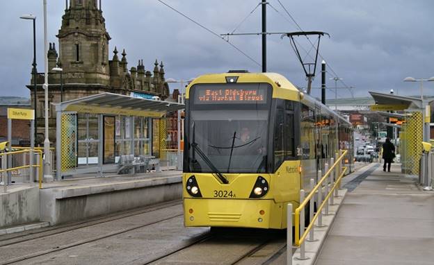
The new MetroLink opened in May 2012.
The nearest tram station is Oldham Mumps. Trams arrive at this station
every 12 minutes or so.
From the station, walk alongside the car park, and cross the
A62, into Lees Road. After nearly half a mile, and after the fire station,
turn left up Balfour Street.
Balfour Street is quite steep. As the road at last starts to
level off, Arundel Street is on your right after about 300 metres. The
Church is located about 30 metres along Arundel Street, on your left.
Find out more →
|
|
By car

The M62 motorway joins Leeds and Liverpool. The
portion around Manchester forms part of the Manchester orbital road, and is
numbered as the M60.
If travelling from
Leeds, leave the M60 at junction 22 and turn toward onto the
A672 (signposted ‘Saddleworth’ and ‘Oldham’). Take this road until its
very end (about 8 miles). Warning: the A672 is often very steep, has many
tights bends, and there are many speed cameras.
At the end, you
will be facing a large carpet store, and with a huge Tesco ‘Extra’
superstore to your right. Turn right. You will still be on Huddersfield
Road (the A62).
Almost immediately,
turn left after the giant Carpet where a large white sign says ‘Precinct
still open’. This is Dunkerley Street. Drive to its end (about 50 metres).
At the
end of Dunkerley Street is a crossroads, with Greenacres Primary school on
your right. Go straight ahead, cross Greenacres Road. Less than 5 metres after the crossroads, turn right into Balfour
Street, and immediately left into Arundel Street. The church is located
about 30 metres down the road, on your left.
|